RDKB prepares for 2018 freshet – asks residents to do the same

By RDKB
The Regional District of Kootenay Boundary is preparing to respond to any flood-related emergencies that could occur in the coming weeks or months, depending upon weather. Residents can also prepare by developing their own emergency plans.
“The snow pack this year is very high, and our rivers and creeks have started to rise, but no one knows how quickly all that snow is going to come down from the mountains,” said Chris Marsh, Manager of Emergency Programs at the RDKB. “It’s really dependent on temperature and precipitation as well as on snow pack. What we can do is train and prepare, pre-position sand and equipment in case it’s needed, cooperate with our provincial and municipal partners, and watch the weather like everyone else.”
Marsh says the RDKB is closely cooperating with municipalities, local fire departments and Emergency Management BC to:
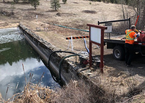
- Stage over 50,000 sand bags throughout the RDKB – primarily in the Boundary region
- Confer with Emergency Management BC about the availability of BC Wildfire unit crews and other fire fighters to assist with sand bagging, support residents and local government in the event of flooding
- Participate in an Emergency Management BC preparedness workshop to share skills and information among local authorities and provincial experts
- Continue to train, practice and plan with the RDKB Emergency Operations Centre staff team so the EOC — whether activated out of Trail or Grand Forks — is ready to respond to any emergencies including potential flooding
- Continue to communicate with the public about river and stream level readings and flood preparedness
“We are doing everything we can to get ready for potential emergencies in the region. I just want to stress that residents who live where flooding is possible and even probable need to develop a personal and family emergency plan to protect themselves and their property if necessary,” said Marsh.
The snow basin index, or the amount of snow on the ground within a drainage area is currently at 149 per cent of normal for the Boundary region. April, as well, is usually a month in which more snow accumulates up high whereas low and mid-level elevations melt. The snow basin index is only one indication of flood risk. Temperature variations and precipitation events are also significant contributors to how the snow melts and runs off each spring.
For more information on flood preparedness and river flow levels, and links to Prepared BC, the provincial government website that provides information for residents to prepare for any kind of emergency, visit rdkb.com.
Anyone who wants find out more about sandbags can contact their local municipality or the RDKB at 1-800-355-RDKB (7352) or at rdkb.com.