Initial watershed study goes public
The first phase of the Kettle River watershed management report is complete and is being rolled out to the public.
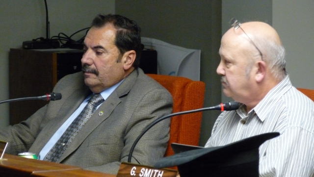
Grand Forks city council received a presentation from the project co-ordinator Graham Watt to update them on the study, key focus areas and next steps at their meeting Monday, Dec. 17.
The Regional District of the Kootenay Boundary is leading the study that evaluated water supply, use, quality and aquatic eco-system in the phase one “State of the Watershed Report.” After further public input and more detailed analysis of some issues, the committee will develop a plan for the future based on recommendations with stakeholders on policy, planning and stewardship.
Results of a survey done over the fall of 2012 are being collated and in the spring the committee will work on developing objectives and priorities from the information collected, said Watt. A draft plan will be done late winter 2013, and they anticipate implementation in the spring of 2014.
A network of people has been involved in the process: steering committee, technical advisory committee and a stakeholder advisory group along with input from the public including partners in the United States.
“The report actually helps give us information on key questions,” said Watt. “In the survey, I’ve entered over 400 of them now, these questions keep coming up again – are the river flows declining? People are really concerned about flows, about climate change, how much water we’re using, etc.”
The short answer on whether the river flows are declining, said Watt, is no.
Both on a long term and short term basis the data collected from 1930 through 2010 show a small decline over the last 30 years but it’s strongly opposed by high flows in past years. While 2003 and 2009 showed very low waters, the last two years are over average, Watt added.
When the waters were very low there were a lot of fish lost in the river, but there is no historical trend either up or down across the data for annual averages and the last two years are well within the historical median according to the report.
“What about climate change? We’re really not sure how it applies locally. In general we might see more rain in the winter than historically,” said Watt. “Sometimes… what might happen is a higher potentially earlier spring flood. The big one that I think we might want to pay attention to is a longer dry season, longer growing season with higher temperatures and lower precipitation. People are going to have higher demands on water for agriculture and recreation.”
So is the region using too much water? Overall, Watt said, the report indicates that the area is within reasonable limits, but there is usually a deficit in late summer / fall in terms of the total surface licences. The good news is the surface licences are only running at about 50 percent usage and many licencees have switched to groundwater from river water.
The main concern is in dry years when the water licences actually total more than water flows.
“Those who are paying attention to springs and have a well are not going to know that the groundwater is continually refreshing and discharging to the stream,” explained Watt. “In some areas surface water can actually be lost to the groundwater and that might be going on in the Grand Forks area and the Midway area.”
Many residents, cities and economic activity are increasingly dependent on the groundwater rather than river water. There is good information on Grand Forks’ aquifer, but little for other areas in the watershed.
“Basically we’re sitting on a big reservoir where everyone has draws in it and everyone potentially can impact it,” said Watt. “It’s very connected to surface water. So a prime example is nitrate. There are very high levels of nitrate concentrations on the east side of Carson Road and down the Nursery.”
Council recently heard that the city wells are in good shape in terms of nitrate levels, but the east side of the valley is a concern.
The study goes on to note that high levels of water extraction may further decrease the river flows in late summer and refers to a need to complete a detailed hydrogeological study on any potential new wells.
“There are some further studies that can be done, and we have a really good information base. Now I think we have the ability to go out and start promoting stewardship and some protection of groundwater,” Watt added.
The study also addresses fisheries issues for the sport tourism industry which in some low flow years has suffered. There will be an in-depth study from the Ministry of Forests, Lands and Natural Resource Operations available in the spring of 2013 reviewing the fisheries.
Lastly, riparian eco-systems and foreshore development were reviewed in the report. Watt said there is very limited data on the actual conditions. The working group will gather data, consider policy needs and look at recommendations in the next year.
Next steps for the planning process are to evaluate water supply and demand, develop a working group on storage opportunities (damming, reservoirs, etc.) and a public education initiative to encourage stewardship and lower water use.
The watershed phase one plan is available for review at their website: www.kettleriver.ca.


