UPDATED: Special Weather Statement ends as temperatures begin to cool
Environment Canada has ended the Special Weather Statement for the Boundary/West Kootenay as temperatures begin to cool into Sunday evening and Monday.
The Environment Canada Monday forecast calls for a mix of sun and cloud, becoming cloudy near noon with 60 percent chance of showers in the afternoon as well as a risk of a thunderstorm in the afternoon.
“Wind becoming northwest 20 km/h in the afternoon. High 30. Humidex 35. UV index 6 or high.Mainly cloudy. 60 percent chance of showers in the evening and after midnight. Risk of a thunderstorm in the evening. Wind northwest 20 km/h becoming light in the evening. Low 14.”
Tuesday, there’s a mix of sun and cloud with 30 percent chance of showers. High 28.
Special Weather Statement continues
Environment Canada has continued its Special Weather Statement for the Boundary/West Kootenay Region.
Another day of hot weather is expected for the region as a ridge of high pressure rmains over the southern BC Interior today leading to another day of above seasonal temperatures.
Daytime maximum temperatures will reach the low to mid 30’s.
Environment Canada said slightly cooler conditions with maximum temperatures in the mid to upper 20’s are expected on Monday as the ridge weakens and moves to the east.
The heat combined with the warm and dry weather from June will increase the fire danger rating across much of southern BC.
Heatwave prompts Environment Canada to issue Special Weather Statement
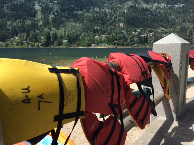
The hot, dry weather has prompted Environment Canada to issue a Special Weather Statement for the Southern Interior of BC and parts of Alberta, including the West Kootenay/Boundary Region.
“A ridge of high pressure will persist over the southern BC Interior leading to a couple more days of above seasonal temperatures,” the Environment Canada release said.
“Daytime maximum temperatures will reach the low to mid 30’s through the weekend. Overnight conditions will also remain quite warm.”
“Slightly cooler conditions are expected early next week as the ridge weakens and moves to the east,” the release added.
Environment Canada said the heat combined with the warm and dry weather from June will increase the fire danger rating across much of southern BC.
“Heat-related illnesses are more likely during prolonged periods of hot weather. Everyone is at risk of heat-related illness,” the Weather Statement said.
“Those most vulnerable to high temperatures include young children, the elderly, those working or exercising in the heat, persons with chronic illnesses, heart and lung conditions, people living alone in un-air-conditioned homes, and the homeless. If you are taking medication, particularly for mental illness, heart disease or Alzheimer’s disease, ask your doctor or pharmacist whether it increases your health risk in the heat and follow their instructions.”
The forecast is for 30-plus temperatures through the week, with a slight chance of showers Monday and Tuesday.
Please refer to the BC Wildfire Service for updated Fire Danger Ratings.
Please continue to monitor alerts and forecasts issued by Environment Canada.


