Weather experts say warm, wet winter quite common for an El Niño
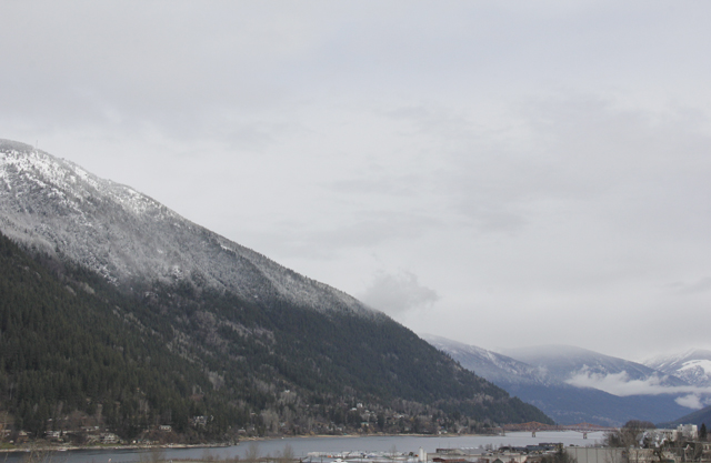
While mild temperatures and steady rain have some locals concerned about the rapidly warming globe, weather experts assure The Nelson Daily that the warm and wet weather this winter in the West Kootenay region is par for the course.
While global warming is certainly a legitimate concern, and the Nelson area has felt unseasonably mild over the last few weeks, both temperatures and snow levels are consistent with historical records — especially for an El Niño year said Ron Lakeman of the Southeast Fire Centre.
“In an El Niño winter, spring always comes early and that was certainly the case this year,” said Lakeman, a meteorologist with the BC Wildfire Services branch.
“The El Niño didn’t take hold until the 2nd or 3rd week of January, but since then it’s been on the mild side,” Lakeman added.
“Even though we’ve had a lot of precipitation it’s been more in the form of rain so as a result, the snow melted off quickly at lower elevations and that’s quite common for an El Niño.”
El Niño is a climate cycle in the Pacific Ocean impacting weather patterns globally. The cycle begins when warm water in the western tropical Pacific Ocean shifts eastward along the equator toward the coast of South America.
As a hugely important source of local revenue and tourism, Whitewater ski resort is at the mercy of El Niño and any other weather related phenomenon.
Yet despite initial predictions for a dismal, dry and warm winter, this season has exceeded expectations for snow levels and remained historically consistent in regards to temperatures.
“Just thinking about our historical long term average temperatures and looking at our stats, we’re only about a degree above our historical long term average mean temperature,” said Kirk Jensen, Manager at Whitewater Ski Resort.
Jensen also said that last year, while the resort’s average temperatures were a few degrees higher than normal, that increase was felt across most of Western North America.
However, this year has seen a return to more historically consistent temperatures and higher than average snowpack levels.
“Overall, this year we’re probably now above average settled snowpack for the 11th of March,” Jensen said.
“We’ve only had three or four days all winter that we’ve been above zero up here. Just looking over the course of the winter that’s pretty normal for us. We haven’t had rain at the top of the mountain all year but we’ve had rain three times, maybe four, and that’s kind of average in the 23 years I’ve been up here.”
While the valley bottoms experiences wind and buckets of rain as a systems continue to flow across the province, mountaintops, and highway passes, are accumulating snow.
During the past seven days, Whitewater has seen an accumulation of 92 cms (36.2 inches) of snow.
Jensen said if the predicted snowfall for the rest of March pans out as expected, Whitewater is on course for an above average winter.
“If it keeps up the way it’s going we’ll be on par for an above average winter here for snow and temps have been pretty good for the most part.”
As far as the spring and summer are concerned, many are wondering if we are due for another ferociously hot and dry summer similar to last year’s.
Lakeman said that this is tricky to predict, especially in an El Niño year.
It is difficult to accurately forecast the summer while we’re still in the last weeks of the winter season.
“El Niño has more influence in the latter part of the winter and the spring, than in any other time of the year,” he said.
“We do end up with warmer than normal temperatures, but we also typically end up with fairly wet conditions.
“Actually determining how the summer will play out is still very difficult and what’s happening right now really has no influence as to how the summer will play out.”


