Aerial Imagery Collection for City of Rossland happening soon

By Rossland Telegraph
Public Notice: Aerial Imagery for the City of Rossland Mapping Systems
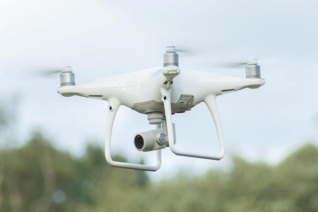
A drone, also known as an “Unmanned Aerial Vehicle,” will be flying high above Rossland to update the City’s aerial images for its mapping systems. The City asks that people not be alarmed, and not interfere in any way with the drone’s operations. [The editor presumes that any interference would increase the cost of fthe operation, and we taxpaying residents are always interested in keeping the City’s costs of operation down, aren’t we?]
Hinterland Surveying & Geomatics will be performing the Unmanned Aerial Vehicle (UAV) surveys between July 22nd and August 2nd. Recent advances in UAV technology have made them a cost-effective alternative for collecting aerial imagery, which has traditionally been captured via manned aircraft. The imagery is being collected in order to update the City’s mapping systems.
Please be aware the UAV will be flying in pre-configured patterns at high altitudes, capturing thousands of individual photographs that are later stitched together into a seamless, high resolution image of our City. The City and Hinterland Surveying & Geomatics staff request that citizens refrain from interfering with the data collection process and appreciate your compliance.
For more information, please contact City Hall at (250) 362-7396 or city.hall@rossland.ca.