SNOWPACK TRENDS AND WATER SUPPLIES

By Contributor
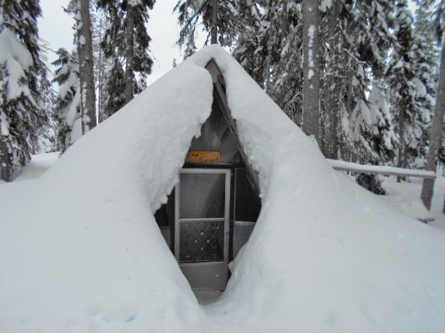
Last year our area had deeper snow in the hills, to the delight of skiers and others who play in the snow. In March, our snowpack was 7% above the historical “normal” level. And yet, it melted away very quickly in the warm spring; just one month later, our snowpack was only 69% of normal for that time. So far we’ve been lucky to have rainy weather since then, both for forest fire prevention and for our summer water supply.
Here’s what the experts have to say about our snowpack, recent trends, and why they measure it. The information below is a press release from the Columbia Basin Rural Development Institute:
“The snowpack in the hills is basically the equivalent of mother nature’s dam. Snow on the hills is water in the mountains. In heavy snowpack years there’s a lot more water that’s going to come down in the spring, a lot more stored over the winter. So obviously that affects the hydrological cycle and anything that occurs downstream” (Tony Litke, Provincial Snow Survey Program).
Every year from January to June the Ministry of Forests, Lands and Natural Resource Operations (FLNRO) publishes a monthly Water Supply and Snow Survey Bulletin with the results of all snow survey data collected across the province. But what exactly is a snow survey and what use is the data collected?
Snow is difficult to measure for many reasons, like melting and compaction. To get around these issues a consistent and systematic method is used – commonly known as a snow survey. Snow surveys always happen at the same time and place, and can be either automated or manual. This consistent approach allows for comparison between months and years.
Perhaps the most well-known use of snow survey data is for water supply and flood forecasting. As the quote above states, the snowpack is directly related to what happens downstream, making this information critical for water supply and availability planning, including everything from flood risk to drought response. However, this information has many other uses, including: hydroelectric power generation, impacts on wildlife and aquatic habitat, and building design. Snowpack is also a key indicator of a changing climate. When all is said and done, snow surveys provide data that is used by provincial and local governments, biologists, engineers, architects, the outdoor recreation industry, climatologists, and many other interested individuals.
Across British Columbia snow surveys show a declining snowpack and earlier snowmelt. These trends are driven by an increase in temperature, not a change in precipitation. This is why the Kootenays mirror the provincial trend, while in the Columbias, given their higher elevation, this trend is less pronounced. Overall, 2016 demonstrates these trends. For example, let’s compare the Snow Survey and Water Supply Bulletin published April 1st (reflecting March) and May 1st (reflecting April). Temperatures in March and April were above normal by 2-4 degrees Celsius. Precipitation in March was near normal, but in April the precipitation in southern BC was low compared to normal. The snowpack grew across much of the province in March, but was still greatly diminished at low to mid elevations because of warm temperatures. Extremely warm periods in April led to rapid melting of the provincial snowpack, setting a new record low for the provincial average basin index. Snow conditions reported May 1st are more typical of those observed for June 1st, indicating that the snowpack is melting 3-4 weeks ahead of normal. The list below compares the 2016 Snow Basin Indices between April and May across the Basin-Boundary.
Upper Columbia
- % of normal – April 2016: 99
- % of normal – May 2016: 75
West Kootenay
- % of normal – April 2016: 107
- % of normal – May 2016: 69
East Kootenay
- % of normal – April 2016: 99
- % of normal – May 2016: 42
Boundary
- % of normal – April 2016: 106
- % of normal – May 2016: 63
Warm temperatures, mid-season melting, and precipitation falling as rain instead of snow have resulted in rivers being well above normal in terms of streamflow and an earlier freshet – the period of increased stream flow following the spring thaw. This shift in timing echoes the pattern of earlier snow melt, shifting the timing of peak flows as well as when low-flows will occur by 3-4 weeks or more ahead of normal. Understanding and preparing for this shift in peak flows is important for local level flood and drought response.
Thanks to David Campbell, Head-River Forecast Centre, Water Management Branch, FLNRO and Tony Litke, Snow Survey Program, BC Ministry of Environment for providing information.
Learn more about conditions and trends in the region.
Resources
• Snow survey video link: https://vimeo.com/162871847
• Snow survey details: http://bcrfc.env.gov.bc.ca/about/snow-survey.htm
• Water Supply and Snow Survey Bulletin: http://bcrfc.env.gov.bc.ca/bulletins/watersupply/archive.htm
• Flood warnings and advisories: http://bcrfc.env.gov.bc.ca/warnings/index.htm
• Drought information portal: http://bcgov03.maps.arcgis.com/apps/MapSeries/index.html?appid=9042807690964463b268dfd91949d65b